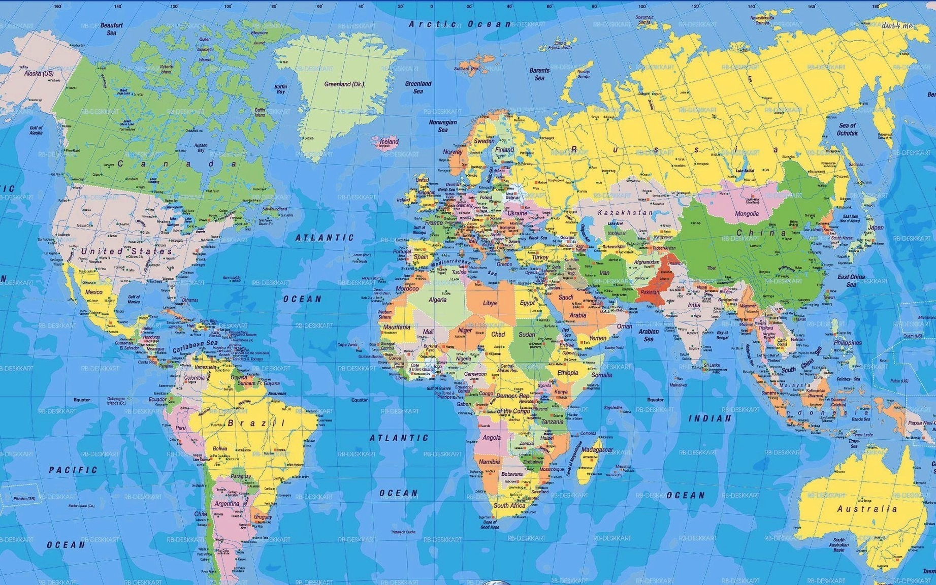
A high-resolution world map is a detailed representation of the Earth’s surface that provides a clear and accurate view of the planet’s geography. It is a map that has been created using advanced technology and techniques to capture the Earth’s surface in high detail. These maps are typically created using satellite imagery, aerial photography, and other remote sensing techniques.
One example of a high-resolution world map is the HD Satellite Map by Zoom Earth. This map provides high-definition satellite images of the Earth that are updated every day since the year 2000. It allows you to view the Earth from different angles and zoom levels, and provides a range of options to customize the map to your preferences.
Another example of a high-resolution world map is the World Map HD by WorldMapHD.com. This interactive map provides a detailed representation of all countries and continents in the world at high resolution. It allows you to click on any country or continent to view more information about it, and provides a range of options to customize the map to your preferences.
The ArcGIS High Resolution Imagery map is another example of a high-resolution world map. This map shows the same layers as the ‘Imagery with Labels’ basemap, but also adds the World Transportation map service that shows street names and road numbers. You can use this map as a general-purpose map to link to or embed, or save as your own map and customize it with zoom and data.
Finally, EOSDIS Worldview is an interactive interface for browsing full-resolution, global, daily satellite images. It supports time-critical application areas such as wildfire management, air quality measurements, and weather forecasting. Data is generally available within three hours of observation.
