World Explorer Map

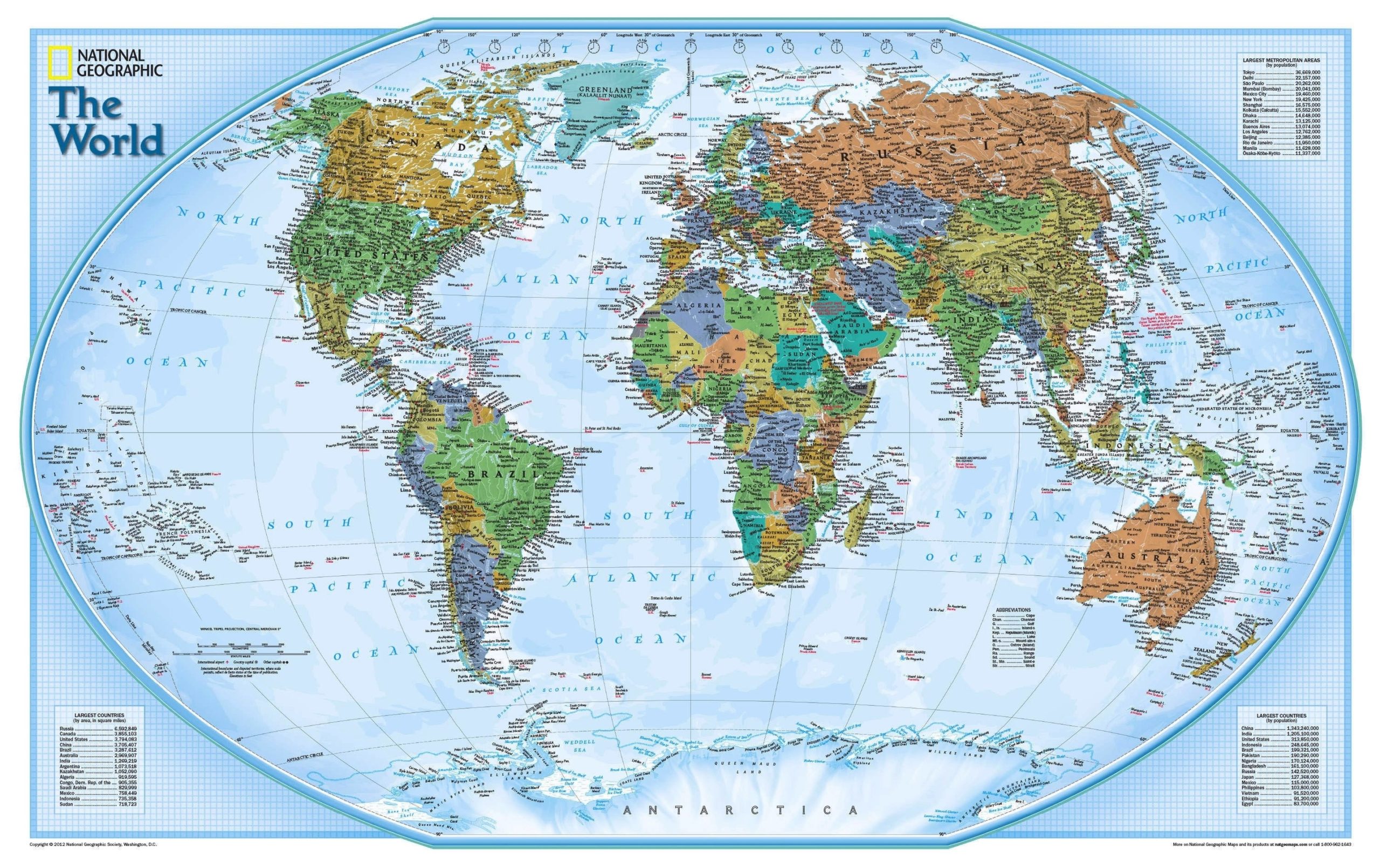
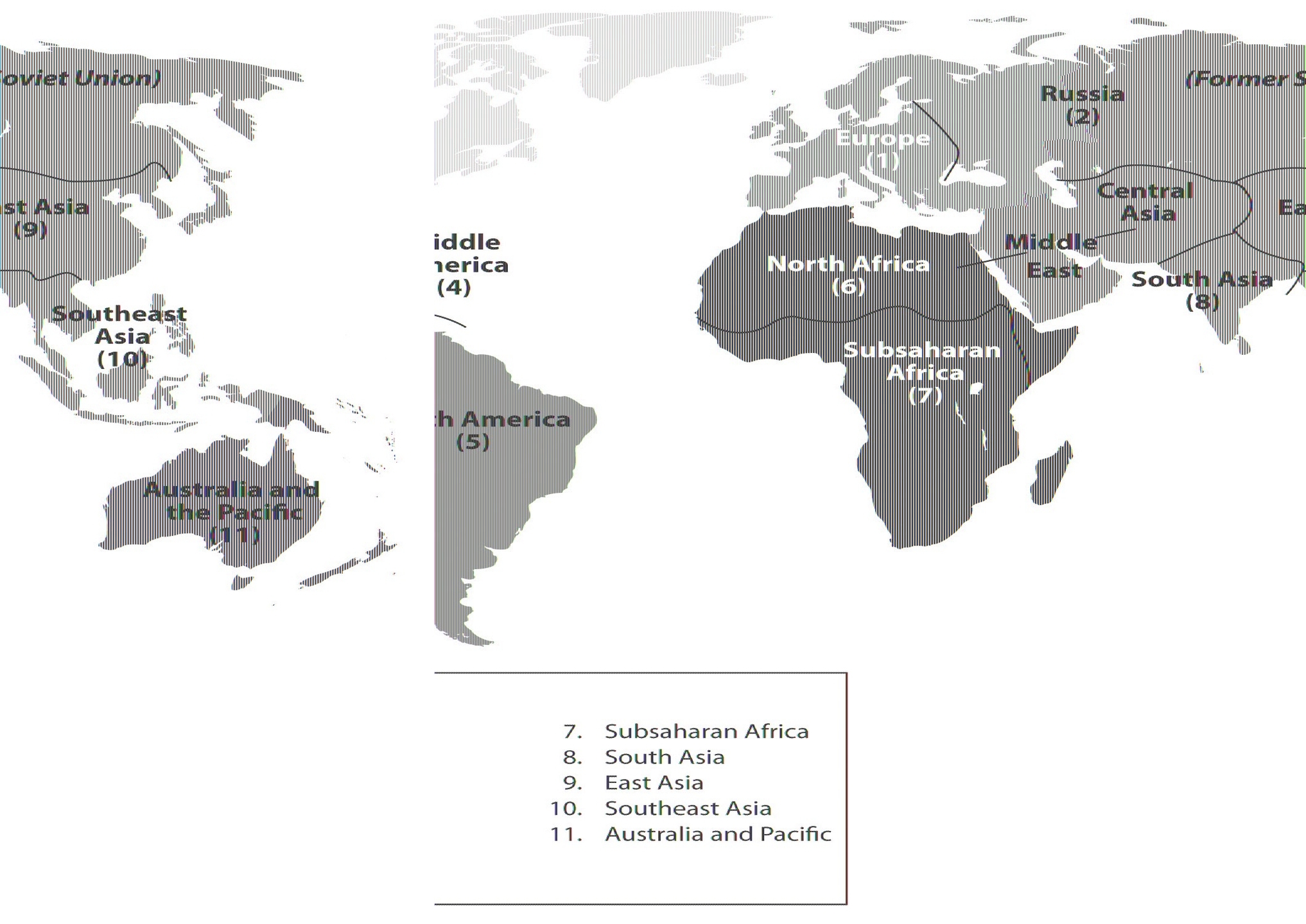
A world map is a graphical representation of the Earth’s surface on a flat plane, showing the locations and shapes of continents, oceans, islands, countries, and other features. World maps can have different purposes and perspectives, such as showing political boundaries, physical landscapes, climate zones, population distribution, or historical events. World maps can also use different projections, which are methods of transforming the curved surface of the Earth into a flat map, with varying degrees of distortion and accuracy.

To read a world map, one needs to understand its basic components and how they relate to the real world. Some of the common components of a world map are:

– Title: The title tells the reader what the map is about and what kind of information it shows. For example, a map titled “World Population Density” would show how many people live in each area of the world, while a map titled “World War II” would show the major events and territories involved in the war.
– Legend: The legend, also called a key, explains the meaning of the symbols, colors, and labels used on the map. For example, a legend might show that a red dot represents a capital city, a blue line represents a river, and a green area represents a forest. The legend helps the reader to interpret the map and find the information they need.
– Scale: The scale shows the relationship between the distance on the map and the distance on the ground. For example, a scale might show that one centimeter on the map equals 100 kilometers on the ground. The scale helps the reader to measure the size and distance of the features on the map and compare them to the real world.
– Orientation: The orientation shows the direction of the map and how it corresponds to the cardinal directions of north, south, east, and west. Most maps have north at the top, but some maps may have a different orientation depending on the projection or the perspective. The orientation helps the reader to locate the features on the map and navigate the world.
– Projection: The projection is the method of transforming the curved surface of the Earth into a flat map. There are many types of projections, each with its own advantages and disadvantages. Some of the common projections are:

  – Mercator projection: This projection preserves the shape and direction of the features on the map, but distorts the size and area, especially near the poles. This projection is useful for navigation and showing angles and directions, but not for showing the relative size and area of the regions.
  – Robinson projection: This projection balances the shape, size, and area of the features on the map, but distorts the edges and corners. This projection is useful for showing the general appearance and distribution of the regions, but not for showing the exact shape and size of the features.
  – Winkel tripel projection: This projection minimizes the distortion of the shape, size, and area of the features on the map, but still has some errors and irregularities. This projection is useful for showing the overall accuracy and realism of the world, but not for showing the precise details and measurements of the features.

To read a world map effectively, one needs to consider the purpose, perspective, and projection of the map, and use the components of the map to find and understand the information they need. World maps are powerful tools for learning and communicating about the world, but they are also limited and subjective representations of the complex and dynamic reality of the Earth. Therefore, one should always be critical and curious when reading a world map, and compare and contrast different maps to gain a deeper and broader understanding of the world.

World Explorer Map

World Regions

World regions are ways of grouping countries or territories based on their geographical, cultural, historical, or political characteristics. There is no definitive or universally agreed-upon classification of world regions, as different organizations or disciplines may use different criteria or methods to divide the world. However, some common ways of defining world regions are based on continents, United Nations geoscheme, World Bank regional classification, or cultural and linguistic similarities.

One of the simplest ways of defining world regions is based on the six inhabited continents: Africa, Asia, Europe, North America, South America, and Oceania. However, this method has some limitations, as some continents are very diverse and heterogeneous, such as Asia and Africa, while others are very small and isolated, such as Oceania. Moreover, some continents are not clearly separated by natural boundaries, such as Europe and Asia, which are sometimes considered as a single continent of Eurasia.

Another way of defining world regions is based on the United Nations geoscheme, which divides the world into six continental regions, 22 geographical subregions, and two intermediary regions. This method was devised by the United Nations Statistics Division (UNSD) based on the M49 coding classification, which assigns numerical codes to countries and territories for statistical purposes. The UNSD geoscheme is not based on political or cultural affiliation, but rather on geographical proximity and similarity. For example, the UNSD geoscheme includes Cyprus and Georgia in Western Asia, even though they are culturally and politically closer to Europe. The six continental regions of the UNSD geoscheme are Africa, Americas, Asia, Europe, Oceania, and Antarctica.

A third way of defining world regions is based on the World Bank regional classification, which groups countries and territories according to their income level and geographical location. The World Bank regional classification is mainly used for economic and development analysis and policy making. The World Bank regional classification consists of eight regions: East Asia and Pacific, Europe and Central Asia, Latin America and Caribbean, Middle East and North Africa, North America, South Asia, Sub-Saharan Africa, and High-income OECD members.

A fourth way of defining world regions is based on cultural and linguistic similarities, which may reflect historical ties, religious beliefs, ethnic identities, or shared values. This method is more subjective and flexible, as different criteria or perspectives may lead to different groupings. For example, some cultural and linguistic regions are the Arab world, the Francophone world, the Anglophone world, the Hispanic world, the Slavic world, the Nordic countries, the Balkans, the Commonwealth of Independent States, and the European Union.

In conclusion, world regions are useful ways of organizing and understanding the diversity and complexity of the world. However, there is no single or definitive way of defining world regions, as different methods may have different advantages and disadvantages, depending on the purpose and context of the analysis. Therefore, it is important to be aware of the criteria and assumptions behind each method, and to recognize the diversity and dynamism within and across world regions.

World Regions

London Tube Metro – London Tube Subway –

London Tube Metro – London Tube Subway – London Tube Map – London Metro Map – London Underground Map – London metro system. London tube system map. Plan of tube lines in the city of London, UK. Source: Travel Zones london tube metro

London Tube Metro – London Tube Subway –

Tokyo Metro Lines. Tokyo Metro System.

Tokyo Metro Lines. Tokyo Metro System. Tokyo Subway Map. Tokyo Railway System. Tokyo Underground Map. Tokyo Railway Metro Lines. Toei Lines. Yamonote Line. Metro System of Tokyo. Japan Metro System. Source: Mappery tokyo metro

Tokyo Metro Lines. Tokyo Metro System.

Tokyo Subway Map – Tokyo Subway – Tokyo

Tokyo Subway Map – Tokyo Subway – Tokyo Metro – Tokyo Tubes – Tokyo Metro System – Tokyo Subway System. JR East Railway Lines in Greater System – Tokyo Map. Source: tbray tokyo subway map

Tokyo Subway Map – Tokyo Subway – Tokyo