The geoid is a three-dimensional shape that represents the surface of the Earth’s gravity field, which is approximately the same as mean sea level. It is perpendicular to the direction of gravity pull. Since the mass of the Earth is not uniform at all points, and the direction of gravity changes, the shape of the geoid is irregular .
To simplify the model, various spheroids or ellipsoids have been devised. These terms are used interchangeably. A spheroid is a three-dimensional shape created from a two-dimensional ellipse. The ellipse is an oval, with a major axis (the longer axis) and a minor axis (the shorter axis). If you rotate the ellipse, the shape of the rotated figure is the spheroid. The semimajor axis is half the length of the major axis. The semiminor axis is half the length of the minor axis. For the Earth, the semimajor axis is the radius from the center of the Earth to the equator, while the semiminor axis is the radius from the center of the Earth to the pole. One particular spheroid is distinguished from another by the lengths of the semimajor and semiminor axes .
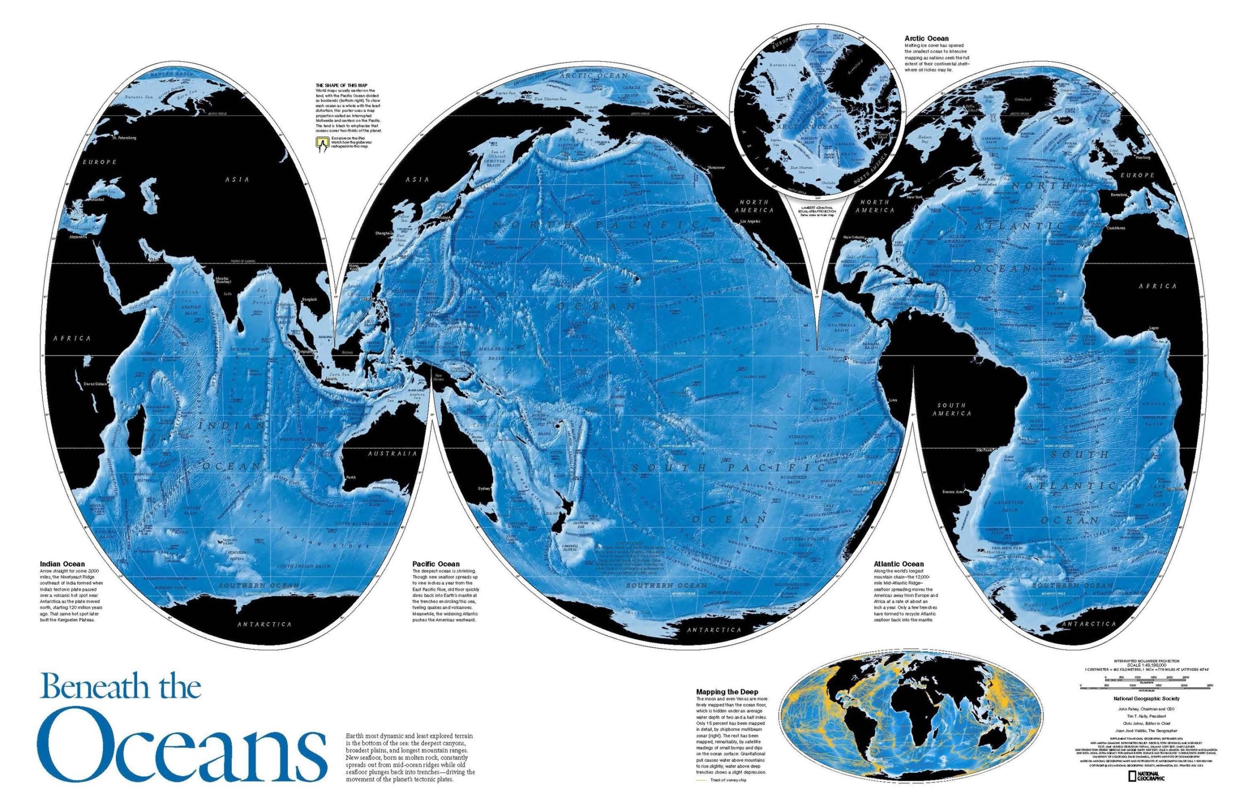
A map projection is a way of representing the curved surface of the Earth on a flat surface. It is a mathematical transformation of the Earth’s three-dimensional surface onto a two-dimensional plane. Map projections are used to create maps that accurately represent the Earth’s surface features, such as its land masses, oceans, and other geographic features. There are many different types of map projections, each with its own strengths and weaknesses .
The geoid, ellipsoid, spheroid, and datum are all related to map projections. A datum is a reference surface that is used to define the position of points on the Earth’s surface. A spheroid or ellipsoid is used to approximate the shape of the Earth’s surface. A map projection is then used to transform the three-dimensional shape of the Earth onto a two-dimensional surface, using the spheroid or ellipsoid as a reference surface. The geoid is used to define the vertical datum, which is used to measure elevations and depths on the Earth’s surface .
In summary, the geoid is a